Municipal staff
Planners, DPW, zero-waste committees deciding whether this site fits your jurisdiction.
Book a fit call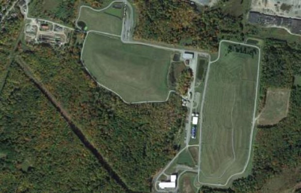
A Sullivan County transfer station paired with co-located municipal sewage treatment and the closed Sullivan Landfill — pre-wired for a circular flow that keeps Catskill-corridor organics local.
Why this site
Monticello enters the ten as the first coverage anchor on the Catskill-to-NYC corridor. The transfer station sits within walking distance of the Monticello STP and the closed Sullivan Landfill — three pieces of waste-and-water infrastructure already on the same campus, which is what the mapping-and-visual-inspection layer is meant to find.
On the matrix: industrial & hauling scores green (the transfer station hub handles regional trucking daily); feedstock variation is moderate (municipal MSW + a steady entertainment-sector stream from the Monticello Entertainment Center); space for circular expansion is green (the landfill acreage is available for ancillary composting, digestate polishing, or pyrolysis pairing). Pyrolysis potential is a watch-list item pending thermal balance studies.
For the coverage plan, Monticello is 45 miles from the NYC corridor and 60 miles from the Capital Region — exactly the 25–50 mile spacing the food-waste-law collection radius assumes. The site's distance keeps Sullivan County from being over-taxed while giving the network a real western anchor.
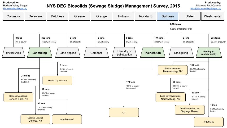
This 2015 snapshot shows Sullivan County's biosolids moving through landfill, hauling, and land application sequences. Use it to frame constraints before you size anything.
Evidence & policy context
The same forces that shape HVB's mission shape the case for this site — four policy and ecological drivers, grounded in a shared county-scale data resource.
Tie this proposal into New York's 2022 organics mandate and the diversion tailwind it has created.
Read the food waste law
Anchor the system in the state's methane and RNG-pathway accountability framework.
View the CLCPA pathways
Screen this site against community burden and build benefits into the pilot from day one.
Explore the EJ policy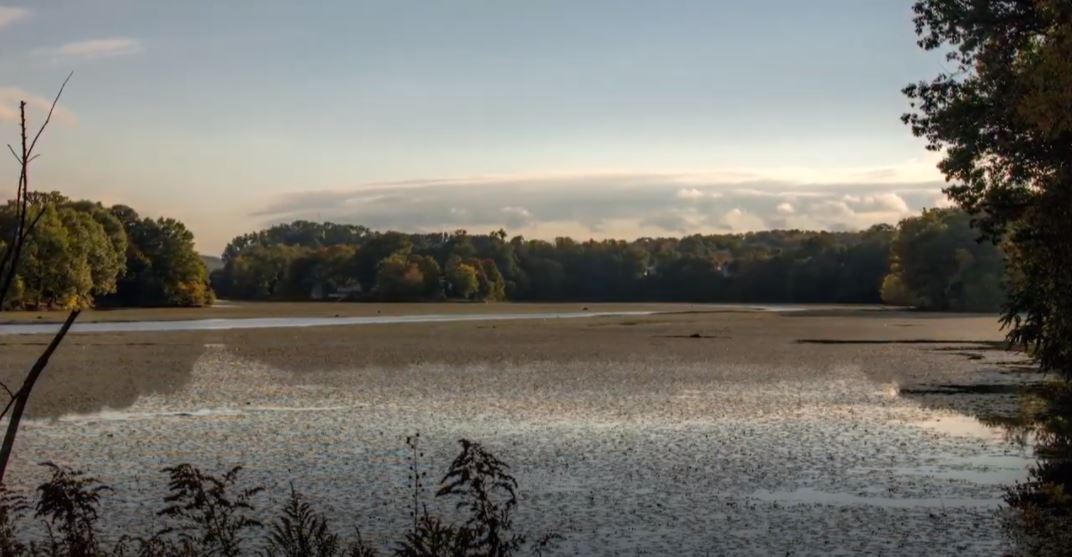
Consider whether invasive biomass streams (water chestnut, others) can contribute feedstock to this site.
See invasive biomass pilotsWhere to start
Now that you've read the briefing, pick the path that fits your role. Each leads to a 30-minute fit call to discuss this specific site.
Municipal staff
Planners, DPW, zero-waste committees deciding whether this site fits your jurisdiction.
Book a fit callGranting agency
Program officers assessing portfolio fit, site-selection rigor, and replicability.
Book a fit callCommunity
Organizers, environmental groups, and residents around this site wanting a seat at the table.
Book a fit callPress & research
Journalists, educators, and researchers covering the Hudson Valley circular organics story.
Book a fit callReady to move
We'll confirm the right lane — advisory, pilot, partnership — and pinpoint the fastest next artifact to ship together.