Municipal staff
Planners, DPW, zero-waste committees deciding whether this site fits your jurisdiction.
Book a fit call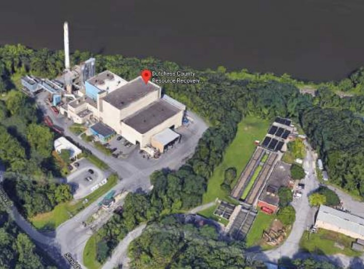
A county resource-recovery authority adjacent to the Poughkeepsie-Arlington and Tri-municipal WWTPs, with line of sight to Wappinger Creek and Wappinger Lake — the site that inherits the Wappingers GIGP case study.
Why this site
The Dutchess RRA proposal is the one that inherits the Wappingers Falls GIGP case study — the 2021 application that packaged a community-aligned pilot concept for New York State's Green Innovation Grant Program. That history is an asset: stakeholder maps exist, narrative is on the shelf, and the community conversation has already happened once.
On the matrix: municipal coordination is green (RRA governance mirrors UCRRA upstream); biosolids integration is green through the Poughkeepsie-Arlington and Tri-municipal WWTPs inside the 25-mile radius; feedstock variation is moderate (county-wide MSW plus biosolids); space for circular expansion is green on the RRA's adjacent parking-lot footprint, which the report's area-calculation exhibits confirm.
For coverage, Dutchess RRA pairs with Beacon inside the two-per-county cap, putting both a transfer-station proposal and a governance-model proposal in Dutchess — matching the pattern the methodology is meant to produce.
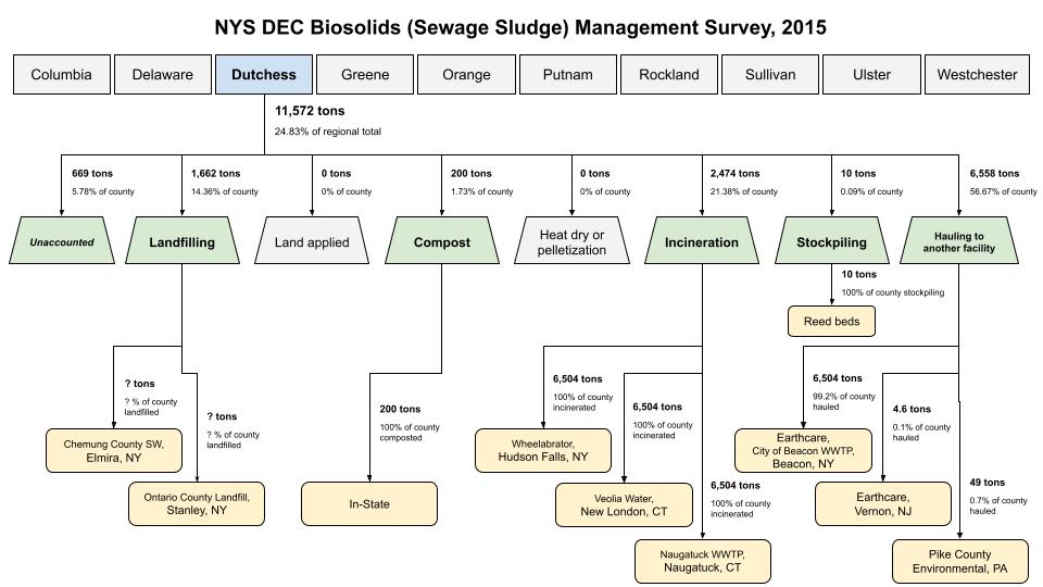
This 2015 snapshot shows how Dutchess County's biosolids moved across landfill, land application, and hauling lanes. Use it to frame constraints before you size anything.
Evidence & policy context
The same forces that shape HVB's mission shape the case for this site — four policy and ecological drivers, grounded in a shared county-scale data resource.
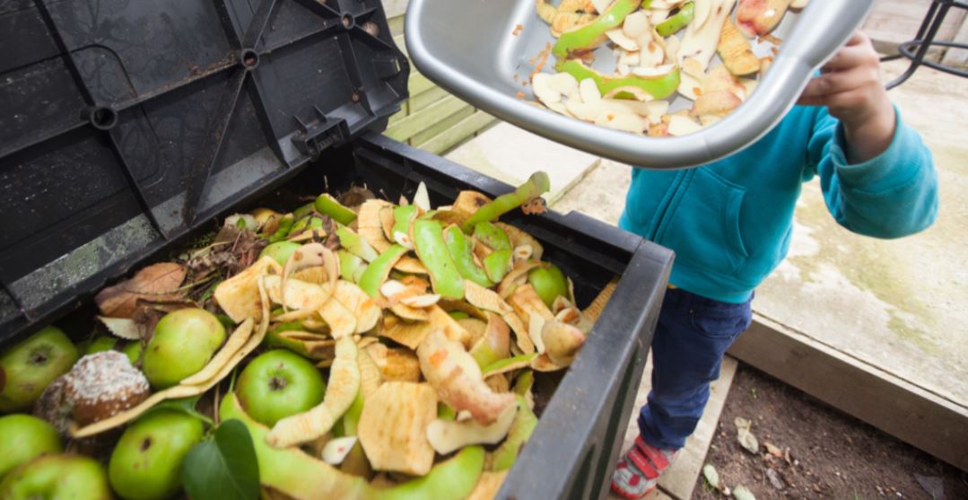
Tie this proposal into New York's 2022 organics mandate and the diversion tailwind it has created.
Read the food waste law
Anchor the system in the state's methane and RNG-pathway accountability framework.
View the CLCPA pathways
Screen this site against community burden and build benefits into the pilot from day one.
Explore the EJ policy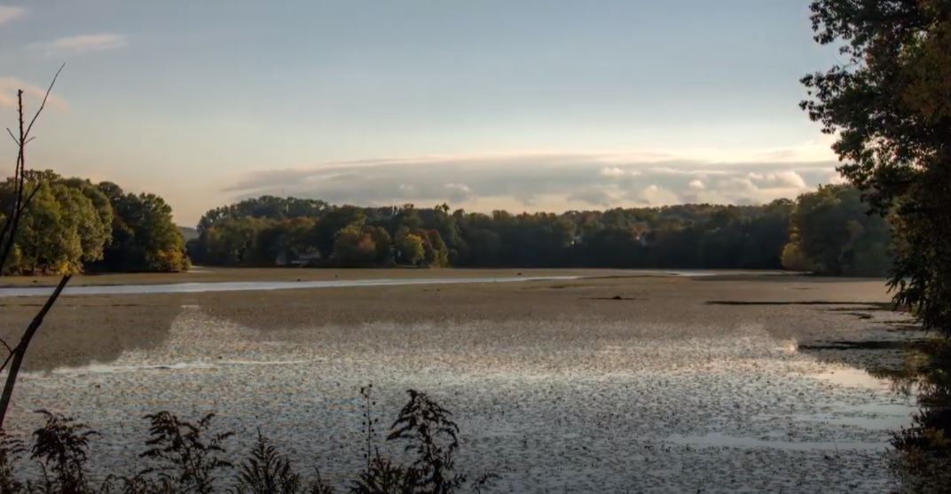
Consider whether invasive biomass streams (water chestnut, others) can contribute feedstock to this site.
See invasive biomass pilotsWhere to start
Now that you've read the briefing, pick the path that fits your role. Each leads to a 30-minute fit call to discuss this specific site.
Municipal staff
Planners, DPW, zero-waste committees deciding whether this site fits your jurisdiction.
Book a fit callGranting agency
Program officers assessing portfolio fit, site-selection rigor, and replicability.
Book a fit callCommunity
Organizers, environmental groups, and residents around this site wanting a seat at the table.
Book a fit callPress & research
Journalists, educators, and researchers covering the Hudson Valley circular organics story.
Book a fit callReady to move
We'll confirm the right lane — advisory, pilot, partnership — and pinpoint the fastest next artifact to ship together.